Lowell’s threat to Hawaii is framed as both a hurricane emergency and a tropical-storm passage
Lowell’s threat to Hawaii is framed as both a hurricane emergency and a tropical-storm passage
Hurricane Lowell is forcing Hawaii to confront a dangerous storm whose projected path lies just west of the islands. The central question is not whether residents will see severe weather, but how sharply the threat is being characterized.
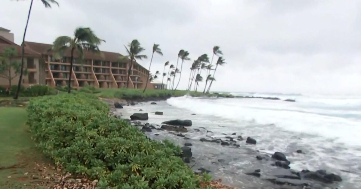
The liberal account presents Lowell as a still-powerful hurricane. The storm was reported as a Category 2 system with maximum sustained winds of 115 mph, prompting a hurricane warning for Kauai and Niihau and a tropical-storm warning for Oahu. Forecasts called for 4 to 8 inches of rain on Kauai, potentially reaching 24 inches in isolated areas, alongside flash flooding, mudslides, dangerous surf and a storm surge of up to 4 feet.
That framing emphasizes the breadth of the risk: not only wind, but also rainfall, flooding and coastal hazards across several islands. The report also notes that Lowell had recently been a Category 3 storm and was expected to remain a hurricane as it passed near Hawaii, even as gradual weakening was forecast.
The conservative coverage uses a narrower, less severe headline frame, telling residents to expect “tropical storm conditions” as Lowell passes to the west. It does not provide additional details in the supplied material, making its emphasis notably different rather than directly contradictory. Both perspectives place the storm west of the island chain and focus on conditions residents should prepare for; they diverge mainly in the prominence given to Lowell’s hurricane status and the scale of possible impacts.
Taken together, the accounts suggest that the practical danger may be greater than the simplified label implies. Even if the center stays offshore and the system weakens, the forecast rainfall, surf, surge and mudslide potential leave western Hawaii facing a substantial emergency.
Write a comment