European Union grants US request to restrict satellite images of Iran War region
New delay on Copernicus satellite pics comes as US ramps up war with Iran again.
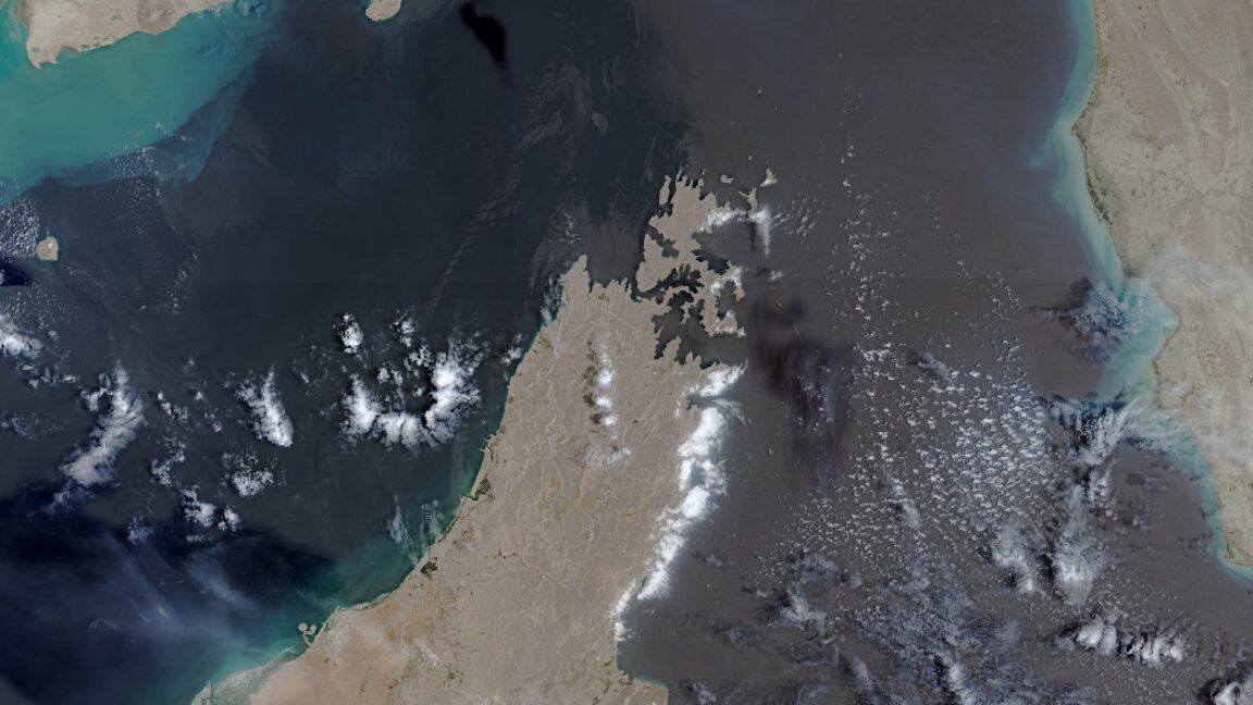
The European Union is delaying the release of satellite images of shipping lanes near the Strait of Hormuz by 24 hours following a US government request. This decision impacts images from Sentinel-1 and Sentinel-2 satellites covering the Gulf of Oman region. The delay aims to restrict transparency regarding the ongoing conflict, despite previous reliance on such imagery by journalists and researchers.
- The EU will delay the release of satellite images showing shipping lanes near the Strait of Hormuz by 24 hours.
- This decision was made in response to a US government request and applies to images from the Copernicus program’s Sentinel-1 and Sentinel-2 satellites.
- The delay affects images covering the Gulf of Oman, including shipping lanes to and from the Strait of Hormuz.
- The US government requested the restriction on May 26, during a period of heightened conflict between the US and Iran.
- Satellite imagery has been crucial for both military intelligence and open-source intelligence during the war.
- US satellite firms have already restricted imagery related to the Iran war due to security concerns.
- The 24-hour delay is considered less restrictive than US firms’ actions but still creates friction in timely transparency.
- The conflict has resulted in significant casualties, global energy shocks, and substantial financial costs for the US.
Continue reading https://arstechnica.com/space/2026/07/european-union-grants-us-request-to-restrict-satellite-images-of-iran-war-region/
Write a comment